West Grey council is going to consider supporting a grant application for the Flood Hazard Identification Mapping Program (FHMIP).
At its meeting today, council will be receiving a report by Interim Director of Infrastructure and Public Works Brent Glasier. It recommends supporting sending in an application to receive funding from the Natural Resources of Canada’s program.
If council receives grant funding, it will also consider approving making a matching contribution of up to $25,000, which will come from capital reserves.
The new FHMIP is being launched by the Ontario government to assist in creating updated mapping. Conservation authorities would work with other partners to be able to access this funding, with each partner covering 50 per cent of the costs.
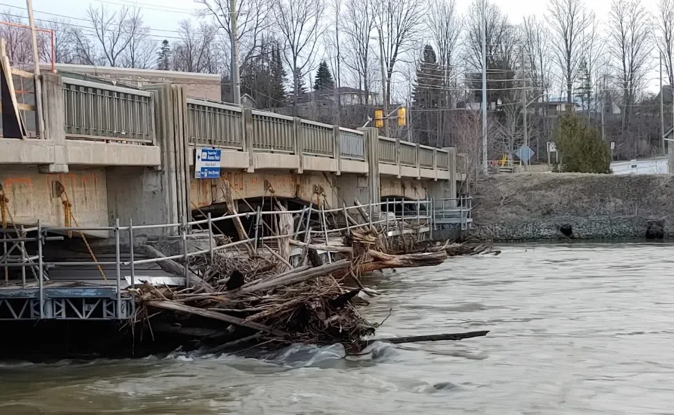
The report says the impacts of severe rainfall have steadily increased over the past few years, specifically with the overflows of the Durham creek.
There is an opportunity, however, to work with the Saugeen Valley Conservation Authority (SVCA) to apply for a grant to complete a flood plan map for Durham Creek.
Having a flood map gives consultants important information to determine potential improvements to the creek and ways to address future flooding.
The SVCA has taken the position of being the project lead for all municipalities in their water shed area to apply for federal funding on behalf of the municipality through Natural Resources Canada.
The SVCA has indicated the Durham Creek flooding situation presents itself to be a strong candidate for this funding opportunity.
If council approves these recommendations, they will work in consultation with the SVCA to complete the application process.


